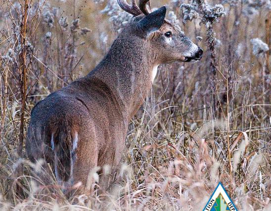


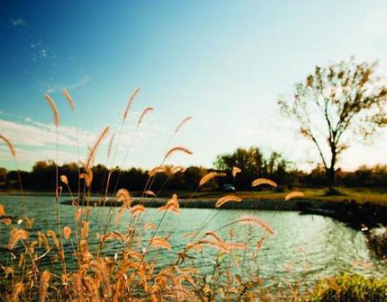


Want to enjoy the natural world? There are many hiking trails within an easy drive of St. Louis that will meet your needs, whatever your hiking ability. Here's a sampling.

Rockwoods Reservation
Rockwoods has been a favorite among area hikers and their families for generations now.
What's most remarkable about Rockwoods is how primeval the terrain looks, despite the fact that much of the land was clear cut and extensively quarried within this century.
There are seven trails at Rockwoods, each offering a different experience and challenge. Distances range from 300 yards on the disabled accessible Wildlife Habitat Trail to 3.25 miles on the Lime Kiln Loop Trail. Cobb Cavern Trail is a short spur from the parking lot leading to a gigantic and photogenic quarry cave that's especially appealing on a hot day.
Some of the trails have steep climbs that could require a breather every hundred feet, so be ready for a workout. Others are partly or completely paved and are far less physically demanding.
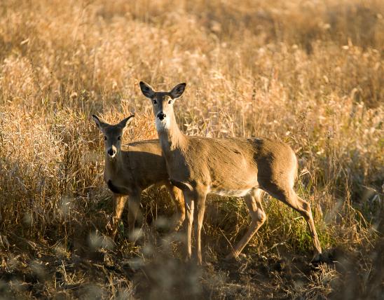
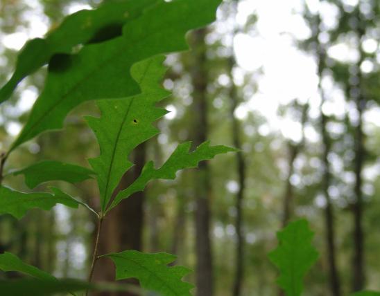
As you hike Rockwood's trails, you will pass boulders the size of houses, clear-running springs, cathedral stands of white oaks, beautiful vistas and the ruins of structures from the lumber and quarry days.
The Education Center at Rockwoods offers a detailed topographic map of the area and interpretive brochures for several of the trails.
Rockwoods is on Highway 109 about two miles south of Highway 100 in western St. Louis County.
Powder Valley Conservation Nature Center
This is a good place for the new hiker, families with young children and those who simply want a relaxing hike in the woods. There are three trails at Powder Valley. Each is fully paved, and each starts at the Nature Center parking lot.
The Trail of Many Creeks is the longest, covering 1.2 miles. It begins with a foot bridge high above the road leading into the park. There are some moderate inclines getting in and out of the valley. For less ambitious hikers, this trail has a short loop that reduces its length to one-half-mile.
The Broken Ridge Trail is two-thirds-mile long and travels through the oak hickory forests that cover Powder Valley. As its name suggests, the trail goes up and down hills, yet none is more than moderately steep.
The Tanglevine Trail is unique among the trails at Powder Valley because it is fully disabled accessible. The terrain is flat and the total distance is one third-mile.
Make sure to allow time for a visit to the Nature Center. It is an outstanding conservation interpretive center with displays, interactive learning centers and even a gift shop. One viewing window looks on feeding stations that attract all kinds of wildlife. Another gives two views of a woodland pond - one above and one below water level.
Powder Valley is in the northeast corner of the intersection of Interstates 270 and 44, on Cragwold Road just off of Geyer Road, in St. Louis County.
Hilda Young Conservation Area
There's something for every outdoor taste at the Hilda Young Conservation Area. The 3-mile Taconic Loop Trail passes through prairie, woodland and bottomland terrain.
The trail starts and ends at the parking lot. It begins by passing through a stretch of tallgrass prairie dotted with colorful wildflowers. After crossing the La Barque Creek, the trail splits, offering hikers the choice of a shorter or longer loop.
Be wary here because trail signs can sometimes get obscured by tall grass. Both loops pass through woods, a glade and several pine plantations. Consider wearing long pants for this trail.
The Young Conservation Area is on Highway FF about three miles west of Highway W in north central Jefferson County.
Weldon Spring Conservation Area
Hikers looking for lengthy and rigorous treks will enjoy the trails at Weldon Spring Conservation Area. In addition to more than five miles of the Katy Trail, there are three other trails at Weldon Spring.
Two of these, the Lewis Trail and the Clark Trail, actually share the same path for much of their distance. The Clark Trail is nearly 5.5 miles long. The Lewis Trail branches off from this one and covers more than eight miles total. Both trek through dense woods. At times the path will take you over, under and even through wind-fallen trees.
In the summer the bottomland that you'll also hike through is steamy, and undergrowth is so thick that it sometimes obscures the trail.
The Lewis and Clark Trails have some demanding hills, but the magnificent vistas on the bluffs overlooking the Missouri River make the hike worthwhile.
The Lost Valley Trail is at the other end of the area. It covers 7.5 miles. Open to bicyclists as well as hikers, the Lost Valley Trail has grown increasingly popular.
Weldon Spring Conservation Area is just south of Highway 40 on the east side of Highway 94 in St. Charles County.
August A. Busch Memorial Conservation Area
You can't beat the Busch Conservation Area for short trails offering a lot of diversity. The area has an 8.7-mile auto tour that will take you to six short trails that show off the surprising variety of habitat found here.
The first is Fallen Oak Trail, which starts beside the parking lot at the main entrance. This .7-mile trail travels through woodland, past a wild bird viewing station and a pond. The grade can be moderately steep at times, but you'll never be out of breath.
The next trail on the auto tour is Pine Trail. This short one-half-mile loop takes you through a stand of mature pine trees. The sights, sounds and scents will please your senses as you walk on a thick carpet of pine needles. Don't skip this trail.
The Dardenne Creek Trail is the next stop on the tour. The trailhead is just north of the dam at Lake 33. This .4-mile loop features streambank stabilization and habitat.
The Woodland Trail, a .2-mile loop, passes through an oak and hickory forest as it moves down and then up a hillside. The grade is moderately steep at times, but the path is clear and provides fine footing.
Next you will come to the Wildlife Management Trail. On this .4-mile loop, you'll see examples of habitat management, including amphibian ponds, brush piles and forest edges.
The .2-mile Prairie Trail is the last trail on the Auto Tour. It winds through tallgrass prairie. Bring your wildflower field guide along for this hike.
The 3-mile Busch Hiking Trail is not part of the auto tour. You can reach the trailhead by car then hike this loop trail past fields, woods and the dam of Lake 19. At some places this trail uses roads that are open to auto traffic, so keep a sharp eye.
As you're driving through Busch Memorial Conservation Area, look for the ammunition bunkers left from the days of World War II.
The Busch Area is on Highway D, off of Highway 94, just south of Highway 40 in St. Charles County.
Forest 44 Conservation Area
Though new to St. Louis, Forest 44 boasts several miles of mature trails. The Dogwood Ridge Trail will give you a good idea of what Forest 44 is all about.
The long loop covers 2.5 miles and, as its name implies, much of that is along a ridge. There's an invigorating climb to the top, but once you're there, the breeze that passes over the ridge will cool you off. Along the way you'll pass two amphibian ponds that provide habitat for salamanders and frogs. The short loop covers 1.3 miles.
Whichever route you choose, listen closely as you hike along the creek. At one point you'll notice that the stream that has been happily bubbling along beside you has suddenly gone silent. Actually, the water disappears under a boulder and emerges about 300 yards downstream as a spring.
More trails are planned for Forest 44. A disabled-accessible .6-mile trail was completed in July of 1996. One of the highlights of the trail is a platform that overlooks a small marsh area.
There are also more than eight miles of horse trails that hikers are welcome to use now. These, of course, require an extra degree of vigilance, but they're worth the effort.
Forest 44 is off Hillsboro Road, about a half-mile south of Meramec Station Road, southwest of the intersection of I-44 and Hwy. 141 in southwest St. Louis County.
Hiking is one of the best ways to enjoy the natural world.
By keeping in mind a few simple guidelines, you can enjoy the trail even more.
- Always wear the right clothes. Dress for the season, wear a hat and don't forget sensible shoes.
- Consider bringing extra gear to enhance your experience. A canteen, map, compass, field glasses, pocket microscope, guidebook and hiking stick will help you enjoy the natural world even more.
- Bring along your conservation ethic. Don't stray from the trail, don't litter and don't remove anything that properly belongs in the natural environment.
And More...
This Issue's Staff
Assistant Editor - Tom Cwynar
Managing Editor - Jim Auckley
Art Editor - Dickson Stauffer
Designer - Tracy Ritter
Artist - Dave Besenger
Artist - Mark Raithel
Photographer - Jim Rathert
Photographer - Cliff White
Staff Writer - Joan McKee
Staff Writer - Charlotte Overby
Composition - Libby Bode Block
Circulation - Bertha Bainer