


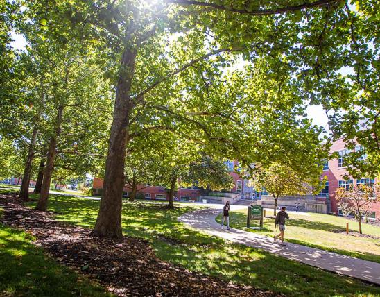


The only way to learn a landscape is to walk over it.
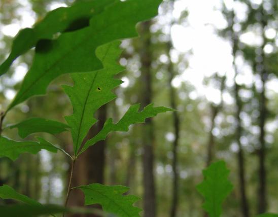
To kneel and inspect the minutiae below your feet--mushroom, stone, centipede, moss. To pause and absorb the vista before you. To crane your neck and watch slim maples ascend.
Abandon the car. Trust your feet. Treat your senses. Hike.
Hike mid-Missouri, where the Ozarks meet the plains, where the Missouri River flows. Glimpse parts of our state that appear today much as they did before Europeans arrived and began changing the landscape.
Summer is a fine time to hike, but perhaps not the best: the industrious chiggers, ticks, mosquitoes and poison ivy seem to think this is their season to monopolize. And who wants to hike in 90 degree weather when the humidity makes the air feel like you're walking in bathwater? Autumn and spring are perhaps better suited for hiking. Autumn's foliage and blue skies can be breathtaking. In spring, there are flowers appearing, buds bursting, brooks gushing clean water. Don't rule out winter; it has its own brand of beauty.
Whatever the season, dress appropriately. Make sure your footwear is comfortable. Take water. Take a compass if you have one. Maps are available at most trailheads. If you're not accustomed to reading topographical maps, ask a friend or read "Follow the Lines" in the June 1997 Conservationist.
Above all, enjoy.
Painted Rock Conservation Area
One of the most gorgeous views in mid-Missouri is accessible via the Osage Bluff Scenic Trail. This 1.6-mile trail in the Painted Rock Conservation Area is easy to hike in an hour, and the first half mile of the trail (the northern side) is flat, smooth and wide and takes you to a scenic overlook. Here, and at other points along the trail, an observation deck perched on the clifftop provides a comfortable vantage point from which to absorb the broad, sparkling swath of the Osage River far below you and the apron of bottomlands and picturesque hills across the water. South of the first overlook, the trail becomes occasionally rocky and steep. Because of the trail's proximity to cliffs, parents should supervise children closely.
Pick up a booklet at the trailhead to learn more about points of interest along the hike: the Indian burial cairn, Bloody Island and timber improvement efforts.
Painted Rock Conservation Area is 7 miles southwest of Westphalia on Highway 133.
Prairie Home Conservation Area
To view a patchwork of Missouri landscapes, visit Prairie Home Conservation Area. This 1,461-acre parcel contains old forests, young forests, active cropland, abandoned fields, creekbottoms and small lakes. All are visible from an 8-mile hiking trail. Don't be daunted by the trail's length: equestrian trails, gravel roads and field access trails criss-cross the area, making it easy to wander where you wish. Walk a little bit or a long ways. If you do follow the hiking or equestrian trails, be warned that the trail markers are not always easy to spot--watch for paint markers on trees. The trails and roads overlap often, though, so it's hard to get lost if you're a good map reader.
The stretch of trail along the western side of the land traverses the edges of active and abandoned fields. Notice how the abandoned fields are being transformed into young forests and thickets. Here, too, you'll see wild grasses and flowers. In the autumn, great stands of flaming sumac and radiant goldenrod line the trail.
If you continue east after the southernmost parking lot, you'll be strolling down a tranquil country road, passing an old farm. On your right is Schaaf Creek. The road crosses the creek at a low water crossing, so avoid this section of the trail if you don't want wet feet.
The eastern arm of the area is more heavily timbered than the west arm. Here the hills become steep on occasion. On the northeast section of the hiking trail is a slope marred by a small forest fire. In clearings along the north stretch of the trail are impressive stands of blackberries.
To get to Prairie Home Conservation Area take County Route J west from Prairie Home, then turn south on Route W.
Rock Bridge Memorial State Park
Rock Bridge Memorial State Park needs no introduction to most mid-Missourians. Though it's only been a state park for about 30 years, its attractions drew visitors even in the 19th century. At one time or another, the land around (and sometimes beneath) the natural stone bridge was the site of a distillery, dance floor, amusement park, community center and even a post office. Today, the park's wonders are protected from commercialization and Columbia's suburban sprawl.
There is no more popular stretch of trail in mid-Missouri than the .5-mile Rock Bridge Trail, and for good reason: two spectacular wonders of our region, Rock Bridge and Devil's Ice Box, are within an easy walk of the park's southern parking lot. The trail is a boardwalk, built to protect the fragile soil and vegetation of the area, and allows a hiker to walk directly beneath the massive stone arch without even dipping his or her toes in the creek that runs through it. Further on is a bird's eye view of Devil's Ice Box, a dramatic sinkhole. From here, Devil's Icebox Cave stretches underground for more than three miles. Be warned that there are many stairs on this trail.
Sinkhole Trail winds south from the southern parking lot and measures 1.5 miles. As its name suggests, the trail allows close-up viewing of several sinkholes, though none are particularly noteworthy.
Spring Brook Trail stretches 2.5 miles between the two parking lots and passes through both upland and bottomland habitat, crossing Little Bonne Femme Creek twice.
The 2-mile Grassland Trail traverses smooth terrain that is being converted to native grasses. This trail can be reached at the south end of the Sinkhole Trail or from the southern edge of the park on Route N.
High Ridge Trail, on the east side of Highway 163, climbs a ridge between Gans Creek and Clear Creek and provides views of the surrounding country. The trail measures 2.3 miles.
Rock Bridge Memorial State Park is south of Columbia, west of Highway 63 on Highway 163.
Three Creeks Conservation Area
Nearby Three Creeks Conservation Area is more lightly traveled than Rock Bridge, but well worth visiting. The same limestone geology responsible for Rock Bridge has created a topography that is often dramatic, especially along Turkey Creek. Other sections of the conservation area display high-canopied upland forest and reclaimed farmland.
From the parking lot at the end of Deer Park Road, the trail meanders east through mature oak and maple forest before dropping toward Turkey Creek. Despite the steep topography of the area, the trail itself is relatively easy to hike. As you follow the charming, rock-bottomed creek, you'll see beautiful limestone outcroppings, some leaning over the water, some towering above. The trail crosses the sleepy creek more than once, so avoid this trail within a day or two of any sizable rain.
If you opt to take the first marked trail back to the parking lot, you will cover a total of 1.7 miles. The longer loop is 2.7 miles and follows Turkey Creek further before climbing north.
For a smoother, but less scenic hike follow the horse/bicycle paths.
From Highway 63, drive 1.75 miles west on Deer Park Road to get to Three Creeks Conservation Area.
Davisdale Conservation Area
Davisdale Conservation Area is a unique collection of young and old forests, abandoned fields, active cropland, and various warm- and cool-season grasses. This 2,700-acre area contains over 10 miles of trails. The most easily accessible and varied loop of the trail starts at the park's southern border and arcs north across gravel road 442 before returning south. This loop measures about 5.5 miles and begins at the parking lot on Highway 40, perched on the edge of the Missouri Rivers floodplain.
The trail immediately crosses the KATY Trail and climbs into the hills. (Stick to the path labeled on the map as "trail," not the "Wade Eagle Trail," which is poorly marked.) Follow the path's left fork and wind your way through old hilltop pastureland. Notice the young hardwoods encroaching.
After the trail swings northward, you'll come to a series of narrow fields, actively cultivated. On these ridgetops are some fine views of the surrounding hills, and more than a couple teasing glimpses of the wide Missouri River bottom and the hills across the river.
North of the gravel road are more croplands, as well as fields of native grasses and stands of blackberries and milkweed. As the trail crosses south over the gravel road, you'll pass the enchanting 1881 Sulfur Springs Baptist Church, and soon find yourself walking along an old roadbed through tall woods.
The entire trail is wide and mown but does climb some lengthy hills. The 5.5-mile loop might take the average walker three hours to traverse, though it can be completed in less than two. For a real challenge, try to locate the four graveyards within or adjacent to the area. For a Herculean challenge (fit for an energetic Boy Scout troop, perhaps) try to locate the park's 25-plus ponds. The area also has three American Indian mounds.
Davisdale Conservation Area is 15 miles west of Columbia on Highway 40.
Runge Conservation Nature Center
In Jefferson City, Runge Conservation Nature Center offers excellent outdoor walking without leaving town. The five trails can be hiked individually or strung together.
The .33-mile Naturescape Trail is paved and traverses only mild inclines, so it's well suited for wheelchair hikers or people who might not be able to tackle more rugged walks. Interpretive stations on the trail highlight different conservation strategies you can employ in your own back yard, such as planting a butterfly garden or constructing a small pond.
The longest trail, .75-mile Raccoon Run, is also paved and winds through dense cedar groves and past prairie grass meadows, three ponds and a huge shagbark hickory. Bluestem Ridge Trail, .33-mile, is similar to Raccoon Run.
Moss Rock Trace runs between a rocky creek and a lovely mossy hillside. There is a set of stairs on the .33-mile trail and one steep climb.
Towering Oak Trail, .5 mile, passes through some of the older woods on the property.
Runge Nature Center is just north of Highway 50 on Highway 179
Little Dixie Lake Conservation Area
The centerpiece of Little Dixie Lake Conservation Area is the 205-acre, manmade lake. Hiking trails wind around the lake, though to walk the entire circuit would take hours. More attractive is the idea of constructing your own hike, of whatever length you like, from the many trail options.
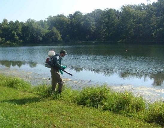
A good area to start from is the parking lot on the east side of the lake. Here is a .4-mile paved and level interpretive trail that winds through the woods and along the lakeshore. Be sure to check the lake to see what waterfowl are present; it's a popular stopover for migratory ducks and geese.
You can wander farther north on the "shoreline trail" or "boundary trail." These trails, north of the parking lot, pass through some fine oak forest. You can easily loop back to your car after 20 minutes or an hour, or choose to continue north to observe old pasturelands. The level terrain and old woods are lovely, but the highway and haphazard residential development surrounding the park may detract from your outing.
Little Dixie Lake Conservation Area is south of Interstate 70 off Route J.
Katy Trail
Columbia's own in-town trail, the Katy Trail, is accessible from many points. You can walk as far as you like on the trail. In some places, the trees lean over the trail, lending the appearance of an old country lane. One pleasant feature of the trail is its lack of steep inclines.
For people interested in backpacking (multi-day hikes), the best mid-Missouri destination is probably the section of the Mark Twain National Forest that straddles the border of Boone and Callaway counties. Here, the Cedar Creek Trail System offers 22 miles of trail with several points of interest. The National Forest has many access points, such as Route Y east of Ashland.
And More...
This Issue's Staff
Managing Editor - Jim Auckley
Art Editor - Dickson Stauffer
Designer - Tracy Ritter
Artist - Dave Besenger
Artist - Mark Raithel
Photographer - Jim Rathert
Photographer - Cliff White
Staff Writer - Jim Low
Staff Writer - Joan McKee
Composition - Libby Bode Block
Circulation - Bertha Bainer