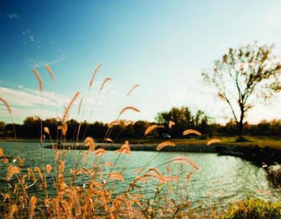


A watershed is defined as an area of land where all of the water that is below it, or that drains off of it, goes into the same place. Unfortunately, watershed management isn’t quite that straightforward.
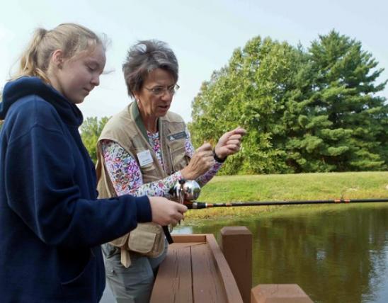
No two watersheds are alike, even those with similar shapes, drainage patterns, soils, geology, hydrology and land use. Human factors further complicate things. With 93 percent of Missouri’s land in private ownership, landowner goals in particular are a critical factor in planning resource management.
Let’s look at two watershed projects in Missouri that are melding resource concerns with landowner objectives to create successful projects. Brush Creek in southwest Missouri is already completed and meeting more than 80 percent of its project goals. The Little Bourbeuse River/Brush Creek project in east central Missouri is just getting started.
Brush Creek
Brush Creek is a mostly agricultural watershed that spans four southwest Missouri counties: Polk, Cedar, St. Clair and Hickory. Most of this 54,000-acre area is dedicated to livestock production.
In the summer of 1993, landowners and several agencies met to discuss their common interest in protecting the Brush Creek watershed. The result was the establishment of the Brush Creek EARTH Project. By July 1994, the project was approved and funding was committed to help landowners improve their farms while protecting Brush Creek watershed.
The Brush Creek EARTH Project brought together several partners with a common goal: to work with landowners in a voluntary spirit to improve and protect the land and water resources. The list of agency partners included U.S. Fish and Wildlife Service, Natural Resources Conservation Service, Missouri Department of Natural Resources, four Soil and Water Conservation Districts, University Extension and the Missouri Department of Conservation. Landowners, however, were the key participants.
Landowners who participated in the EARTH project demonstrated that voluntary efforts could achieve significant conservation goals. They stabilized eroding banks, improved forested buffers and installed grass filters along streams. They also improved grazing rotations, overseeded pastures with legumes, fenced creeks and improved watering systems. More than 17,000 acres in the watershed were brought under improved conservation practices.
By protecting these critical areas along streams from excess nutrients and sediment, landowners improved the water quality of Brush Creek. Meanwhile, the cost-share funds and technical expertise that were provided helped them improve productivity on their farms.
Homegrown experts
The EARTH project relied heavily on finding homegrown solutions to local issues, so a project committee was created. One landowner from each of the four counties became a member. The committee helped develop a cost-share program based on local needs, and goals were developed based on priorities identified with Agricultural Non Point Source (AgNPS) computer modeling.
Richard McConnell became project manager in 1997 and was instrumental in reaching the watershed goals for Brush Creek. However, he credits the committee for the overall success of the project. Committee members have the respect of their neighbors and they know the local issues. They know which projects will work best for themselves and their area.
McConnell has worked more than eight years as a project manager in southwest Missouri. He spent four of those years working on Brush Creek, and he has since worked on projects at Bear Creek and Hominy Creek. On all three projects, he said he has benefited from helpful landowner committees and the flexible support of numerous partners.
Little Bourbeuse/Brush Creek
The Little Bourbeuse and Brush Creek watersheds are located primarily in Crawford County, with small portions in Franklin and Gasconade counties. These two watersheds became a priority in 2002 when the Fish and Wildlife Service listed the scaleshell mussel as an endangered species in the Bourbeuse River. Native mussels are the most endangered species in the rivers and streams of Missouri.
Because Little Bourbeuse River and Brush Creek drain to the Bourbeuse River, one goal of the project was to improve their water quality.
Another team effort
The Little Bourbeuse/Brush Creek Watershed Advisory Committee was made up of five landowners. Two were chosen from the Crawford County Soil and Water Conservation District Board, three lived in the priority watersheds. The group also included technical staff from the Department of Conservation and the Department of Natural Resources. The role of the committee was to put control and decision-making in the hands of the landowners. Members were asked to recommend new practices and to take the lead in seeking additional funding. Agency staffs tracked projects and funds.
Funding was provided through partners and a flexible cost-share program. Partners included the National Fish and Wildlife Foundation, U.S. Fish and Wildlife Service, Department of Conservation, county Soil and Water Conservation Districts, Farm Services Agency and Missouri Conservation Heritage Foundation. Technical assistance was also available from these agencies plus the Natural Resources Conservation Service and the Meramec Regional Planning Commission.
Just like the Brush Creek project in southwest Missouri, money and technical assistance were made available to improve farms while protecting the Little Bourbeuse/Brush Creek watersheds. There was one slight difference, though. The cost-share rate was higher than usual as an incentive for landowners to quickly obligate money for projects.
All of the money was obligated in two months, and projects were quickly completed. Even though cost-share rates were high, each contributor got more “bang for their buck” since there were multiple partners to help pay for each practice.
Getting the word out
Landowner pride and willingness to demonstrate successful practices made a huge impact across the area. For example, two farm tours were held in the Little Bourbeuse watershed on the property of C. Dale and Emma Murphy. Neighbors were invited to see and hear Mr. Murphy describe practices he had used on his farm. This was a good time to socialize, talk about how to improve their farms and find out how to install GeoWeb® around livestock tanks.
Other property owners had tours of their own. When it came time to choose materials and equipment, they relied on each other. They cooperated to order livestock tanks, pipe, GeoWeb®, and erosion control fabrics to best facilitate project installations.
Local contractors learned of the watershed initiatives when they were asked for bids to install best management practices. The contractors were happy to learn that the projects were located in two small watersheds. This meant they could contract services within a small area and would not have to move equipment as far or as often. They also served as one of the means to spread the word about available funds.
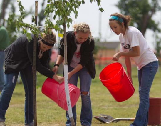
The successes of the Little Bourbeuse/Brush Creek watershed project included more than 16 miles of fence installed along streams and acres of riparian corridor planted in trees.
Watershed projects that fail to meet landowner goals tend to be unsuccessful. However, as these examples show, landowner-driven projects practically sell themselves. For more information on how to improve your local watershed, contact your regional Department of Conservation office (see page 1 for a list of regional office phone numbers).
And More...
This Issue's Staff
Managing Editor - Nichole LeClair
Art Director - Cliff White
Artist - Dave Besenger
Artist - Mark Raithel
Photographer - Noppadol Paothong
Writer/editor - Tom Cwynar
Staff Writer - Jim Low
Circulation - Laura Scheuler