


Little Tavern Creek isn’t very impressive most of the time. You could wade across it on all but a few days a year. Beneath its surface, however, lies a swirling confluence of interests that for decades confounded both commerce and conservation.
Little Tavern Creek is small, but it drains an area of more than 50 square miles. Two-hundred years ago, that watershed was blanketed with savannas and forest down to the creek banks. Rainfall trickled slowly through the lush greenery, feeding deep holes where smallmouth and rock bass and a host of other fish and wildlife found homes.
Settlers were attracted to the Little Tavern Creek valley, where they cleared fertile bottomland for crops and hillsides for pasture. Further logging supplied firewood, lumber and railroad ties for growing communities like Meta and St. Elizabeth.
Removing trees allowed water to run into the creek faster. As the years passed, new roads, roofs and parking lots made runoff even faster. With streamside forests gone, sediment ran into the creek. Deep holes gradually filled with gravel. Only the flushing action of increasingly frequent floods prevented the stream from being choked by sand and gravel.
Fast forward to 1998. Vic Kemna was farming 300 acres in northeastern Miller County, including 40 acres in Little Tavern’s flood plain. Having grown up nearby, on Big Tavern Creek, he had a lifetime of experience with area streams. The creek occasionally flooded his fields, but that was just part of farming in the bottoms.
Jefferson City dentist Bill Ambrose was a newcomer to the area. He bought a farm that was a mirror image of Kemna’s across the creek. He wanted to keep his land a working farm while doing what he could to encourage fish and wildlife.
Little Tavern Creek was both enchanting and perplexing to Ambrose. It still harbored 17-inch smallmouth bass and abundant sunfish. However, periodic floods were carving away his most productive farmland. He looked for help and found a couple of allies.
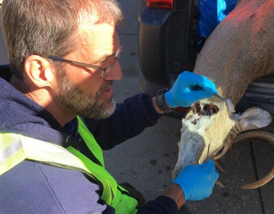
One was Greg Stoner, a fisheries management biologist with the Missouri Department of Conservation. He helped Ambrose design erosion-control structures to protect vulnerable stream banks. Ambrose provided rock for the structures from a quarry on his land and planted 1,400 tree seedlings along the edge of his bottomland fields. Creating a wooded buffer meant surrendering crop land, but it promised to protect the remainder. The plantings also created habitat for many species of wildlife.
Miller County officials got involved, too. To show their appreciation for the privilege of mining gravel from a large bar on Ambrose’s land, county road crews helped build the erosion-control structures.
Ambrose’s efforts succeeded. Not only did erosion stop, but the structures actually encouraged Little Tavern Creek to deposit sediment where it previously had been carving it away.
Then Little Tavern threw a tantrum. A 15-inch rainfall during the last weekend of July 1998 sent a torrent of water ripping through the valley, destroying crops, property and stream crossings. As a result, Miller County received a grant from the Federal Emergency Management Agency. The county commission decided to use the money to upgrade Massman slab, a low-water crossing just downstream from Ambrose’s and Kemna’s land.
The crossing was important because it provided access to the area for feed, fertilizer and livestock trucks, school buses and commuters. County officials had been dealing with floods and washouts on the bridge since the first concrete slab was installed there in 1926. Each time there was a problem, the county poured more concrete around the trouble spot to keep the bridge serviceable for a few more years. This time, however, the county decided to fix the problem once and for all.
The old bridge consisted of a concrete deck approximately 18 inches tall with an opening underneath to let water pass. The county removed this structure. In its place, it laid four round metal culverts, each 48 inches in diameter, parallel to the stream flow. After pouring concrete walls around the upstream and downstream ends of the culverts, they filled the middle with gravel and poured concrete over the whole thing, creating a flat roadbed. The new bridge was approximately 6 feet tall, with the four culverts 2 or 3 feet above the creek bed on the downstream side.
The structure was impressive. It also was doomed to fail. Without the benefit of advice from professional engineers, county officials did not anticipate that the creek would wash out the bottom and edges of the bridge. Before long, they had the same problems that plagued the old slab bridge, but on a larger scale.
Far from being a solution, the new bridge actually created new problems. The four culverts were too small to handle flood flows, so the bridge became, in effect, a dam. Even medium-sized rains caused water to back up half a mile above the bridge.
“You’d get up in the morning and hear it raining, go out and look in the rain gauge and see half an inch of rain,” said Kemna. “When you would get down to that bridge there would be water running over it and my bottoms maybe half full of water.”
The back-ups had several unexpected consequences. One was flooding of the southern approach to the bridge. The saturated roadbed became dangerous to drive on, worsening traffic delays and adding to maintenance costs.
Not being able to get across the bridge was not the worst of it for Kemna and Ambrose. When fast-moving floodwater reached the temporary lake created by the bridge, it slowed down, and all the sediment it was carrying settled out. After a few rains, the creek bed was full of sand and gravel.
“Thank the Lord the creek only got three-quarters bank full once,” said Kemna. “If it had been like some years, when the creek got out in the bottoms two or three times, there would be so much gravel up in there you couldn’t deal with it. It was just a matter of time until we had a 2-inch rain and my bottom land was flooded and I lost my hay and crops.”
The floods set back Ambrose’s hard-won conservation progress, too. His erosion-control structures needed the creek’s current to work. They were useless in standing water, so he was losing ground again.
The surrounding community lost out, too. A traditional swimming hole where families had come for generations filled up with gravel. Fish no longer could migrate upstream in the spring after spending the winter in deep pools downstream. As a result, smallmouth bass and most other game fish virtually disappeared from Little Tavern Creek upstream from the bridge. Ambrose no longer saw people wading upstream with fishing rods.
Meanwhile, the Miller County Commission had problems that went beyond bridge maintenance and angry constituents. The U.S. Army Corps of Engineers, which regulates development along streams, said the bridge was illegal and ordered the county to remove it. The U.S. Fish and Wildlife Service noted that the bridge was bad for the Niangua darter, a fish classified as threatened by federal officials. With no money for a solution, the county was between a rock and a wet place.
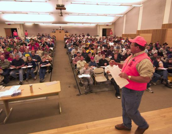
Ambrose was upset, but he knew that beating up the county would not solve the problem. Instead, he called a meeting at the bridge. One rainy day in March 2004, 25 people gathered to look at the problem and discuss solutions. The crowd included all three county commissioners, state and federal legislators or their representatives, the St. Elizabeth school superintendent and representatives of the Corps of Engineers, the Fish and Wildlife Service and the Conservation Department. The Tuscumbia Autogram-Sentinel sent a reporter.
“That meeting did nothing beyond generating interest and awareness,” said Ambrose. “All that was going to happen was that the Corps was going to keep slamming Miller County, which was nonproductive. Without Greg [Stoner] it would have ended right there.”
Stoner thought he saw a way out of the cycle of bad fixes, worse outcomes and legal nightmares. He knew grants were available to eliminate barriers to fish passage, especially where endangered species were present, and to help landowners with stream conservation. The Missouri Department of Transportation had funds to help counties replace bridges. If all those resources could be brought to bear on Massman slab, a true solution might be possible.
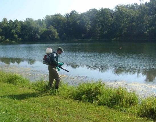
“The whole thing depended on the presence of the Niangua darter in close proximity to the bridge site,” said Stoner. Historic records showed the darters once lived there, and recent Conservation Department surveys had found them just below Massman slab. That meant Stoner might be able to get a federal fish-passage grant. However, getting a federal grant was out of the question with legal action pending against the county.
“I asked the Corps and the Fish and Wildlife Service, ‘Can you just drop the violations if you are sure it is going to be fixed?’” The federal agencies agreed.
Stoner went to work, finding $137,000 in grants from the Fish and Wildlife Services Osage Basin Restoration Grant Program. Another $107,000 came from the Stream Stewardship Trust Fund administered by the Missouri Conservation Heritage Foundation. Miller County contributed $48,000 in cash and in-kind contributions and applied to the Missouri Department of Transportation for credit totaling 80 percent of the new bridge’s cost for other bridge work through the Bridge Replacement and Rehabilitation program.
All that help allowed the county to hire an engineering firm to design the bridge. The collaboration wasn’t over yet, however.
“The engineers wanted to give us a 30-foot span,” said Kemna. “When that creek is bank full it’s about 100 feet wide and 8 or 10 feet deep. Those of us who have lived here awhile knew 30 feet wasn’t enough, so we held out for more. We ended up getting 90 feet.”
The large opening below the new bridge, coupled with a sturdy design and careful alignment of the structure, now lets flood waters pass freely through or over it. The bottom is at creek-bed level, allowing fish to migrate upstream and downstream at will.
Since the bridge was installed, the frequency and severity of flooding on Little Tavern Creek have decreased. Fishing and swimming holes already are beginning to reappear. Stoner said smallmouth bass and other fish have moved back into Ambrose’s and Kemna’s stretch of the creek. “I would venture to say that it is just a matter of time before we find a Niangua darter upstream from the bridge,” said Stoner. “Things are as they should be.”
Miller County Presiding Commissioner Tom Wright took office in 2003, near the end of the Massman slab saga. Standing atop the new bridge last summer, he noted how important it is to have a reliable bridge.
“It’s a long way out to Highway 52 from here when you can’t use the bridge,” he said. “We’ve had problems here forever. I’m glad this one worked out.”
And More...
This Issue's Staff
Managing Editor - Nichole LeClair
Art Director - Cliff White
Writer/editor - Tom Cwynar
Staff Writer - Bonnie Chasteen
Staff Writer - Jim Low
Staff Writer - Arleasha Mays
Photographer - Noppadol Paothong
Photographer - David Stonner
Designer - Stephanie Ruby
Artist - Dave Besenger
Artist - Mark Raithel
Circulation - Laura Scheuler