


During the Great Flood of 1993, floodwater flowed bluff to bluff in the Missouri River bottoms. Other rivers, such as the Mississippi and the Des Moines, also inundated lowlands, towns, roads, and farms. Those who witnessed the flood still struggle to fathom the enormity.
"It was historic, I've never seen anything like it," said Craig Gemming, a MDC fisheries regional supervisor based in Columbia.
Gemming was among the many MDC employees responding to emergencies as the floodwaters raged. “The flood overtopped all the levees up and down the Missouri River, and the whole flood plain was covered. When you think about how much water was up and down the river, it’s staggering.”
The U.S. Geological Survey considers the ’93 flood among the costliest and most devastating in modern U.S. history. Floodwater surged across nine Midwestern states causing 47 deaths, displacing more than 50,000 people, inundating 20 million acres, and leaving $20 billion in damages. In Missouri, flooding severely damaged cities and farms near many rivers. But the devastation was especially acute in the Missouri River valley. Roiling water punctured levees, gouged holes in crop fields, and deposited sand dunes. People and fields needed healing when the water receded.
Today, the great flood’s legacy connects MDC conservation areas along the Missouri River. They range from Deroin Bend in the state’s northwest corner to Columbia Bottom where the Missouri and Mississippi rivers meet at St. Louis. Rivers still flood. Farmers still raise crops on most of the river bottom’s fertile acres. But along big-river edges, some lands scarred by the 1993 flood now serve conservation.
Conservation’s Helping Hand
Missourians in flood-ravaged communities looked for help when the water receded. MDC assisted the Governor’s Task Force on Flood Plain Management. The multiagency task force was asked to provide relief for owners of flood damaged land and find ways to reduce future flood damage. In response, the Missouri Conservation Commission authorized the purchase of flood damaged land along the Missouri River from willing sellers to be used for fish and wildlife habitat and outdoor recreation.
At the same time, the U.S. Army Corps of Engineers (the Corps) purchased land for a river habitat mitigation program, and the U.S. Fish and Wildlife Service created the Big Muddy National Wildlife Refuge with a chain of river bottom lands in central Missouri. A federal emergency wetland reserve program paid some landowners for wetland easements and provided funds for public land purchases.
By 2007, MDC had acquired almost 14,000 acres in the flood mitigation effort. MDC also assumed management under lease agreements of 9,000 acres bordering the river owned by the Corps.
Nurturing River Species
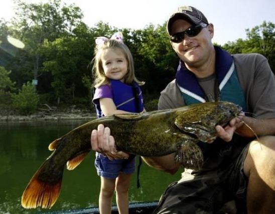
After the 1993 flood, and as subsequent floods came and went, researchers from MDC, the University of Missouri, and other institutions studied how connectivity to the flood plain affects fish populations. Those studies showed that shallow or quiet-water places are important for the growth of young sport fish like blue and flathead catfish and the small forage fish they feed on.
“Combined with the Corps’ projects, it’s gone a long way to improving the fishery out in the river,” Gemming said. One example is a restored 4-mile river chute through the 1,164-acre Deroin Bend Conservation Area in Atchison and Holt counties. MDC purchased the flood-prone river bend after the ’93 flood. The Corps later reopened the chute to mimic the river’s original braided channel before changes for navigation and flood control.
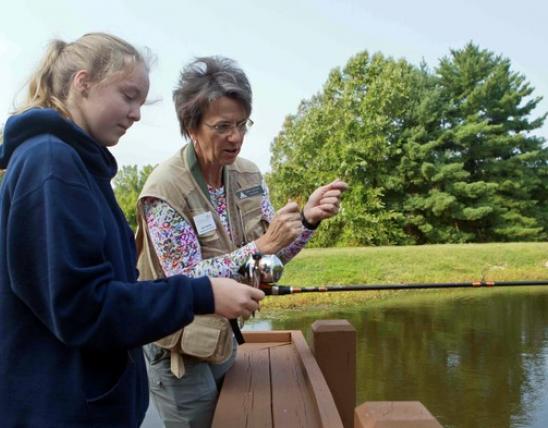
Anglers, turkey hunters, birders, and morel mushroom seekers find access via three MDC parking lots, including one where water flows into the chute.
Providing Big-River Recreation Conservation areas owned by MDC before the flood suffered heavy damage during 1993. For example, a gravel road inside a levee but near the river was heavily damaged at the Bob Brown Conservation Area north of St. Joseph. MDC considered abandoning the roadway, said Craig Crisler, MDC wildlife management biologist. But the road offers anglers a direct route to fishing accesses along the Missouri River. So MDC committed to keeping the road open for anglers, waterfowl hunters, and birders. The fishing accesses are marked with signs and have gravel pull-offs for parking.
Some areas MDC purchased or enlarged after the flood are small in acreage, but they connect people with nature’s wideranging moods on the Missouri River.
The French Bottom Access, Jentell Brees Access, and Arthur DuPree Memorial Conservation Area have boat ramps serving the St. Joseph area.
MDC owned the Cooley Lake Conservation Area near Kansas City before 1993. The area had an oxbow lake but was distant from the river. After the flood, MDC purchased a separate tract with river frontage. The Cooley Lake Access has a boat ramp and a place to fish from shore.
Downstream of Kansas City, the Hardin Conservation Area in Ray County offers walk-in fishing from shore on the Crooked River near its Missouri River confluence. Plus, the area has a deep scour hole with fish and bottomland forest for wildlife habitat. In Chariton County, anglers and hunters can use the Dalton Bottoms Access with its parking lot, privy, and boat ramp on the Missouri River’s north shore. The 54-acre access is on land purchased after the flood.
“It gets used pretty heavily all year,” said Chris Freeman, MDC wildlife management biologist. “People come to fish. But it also gets used by waterfowl hunters to get on the river.”
River Bottom Forest Reborn
Swollen tributaries pushed the Missouri River to record heights as the 1993 floodwaters flowed past river cities such as Boonville, Jefferson City, and Hermann. In the years after, historic names were affixed to conservation areas salvaged from places where the flood scarred land. In the heart of the state, MDC added conservation areas, such as Diana Bend in Howard County and Plowboy Bend in Moniteau County. The Osage River flows into the Missouri at the Smoky Waters Conservation Area in Cole and Osage counties.
Nature provides post-flood healing for conservation areas. In the years since ’93, forests reclaimed some bottom ground. Native aquatic plants populated flood-carved wetlands. Waterfowl and fish began using scour holes.
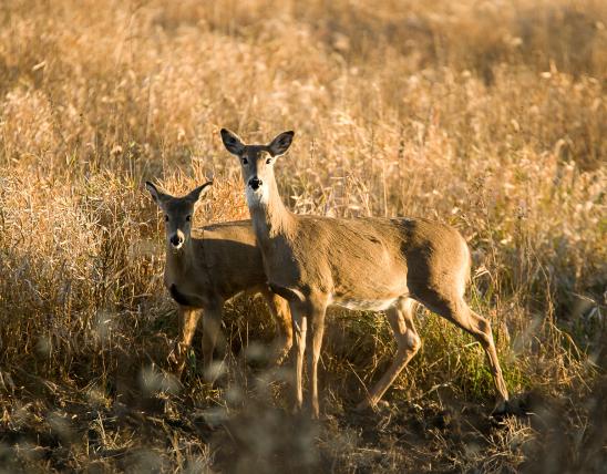
Tall and stately cottonwoods are a reborn bottomland forest at the 2,997- acre Marion Bottoms Conservation Area in Cole County. Willow thickets cover wet areas. Bright blue indigo buntings flit about along an access road through the bottoms that is open to the public during dry times. Shorebirds visit water holding scour holes. Bald eagles circle in the winter and wild turkeys gobble in spring.
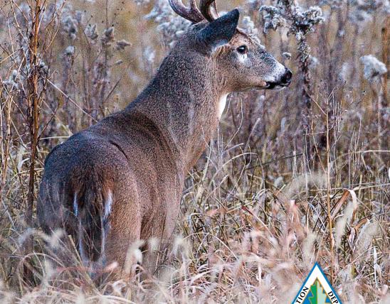
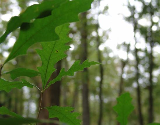
“Probably our number-one use of the area is mushroom hunting, followed by deer hunting,” said Frank Drummond, MDC wildlife management biologist. “The morels do really well in those river bottoms.”
MDC maintains 12 miles of trails on levees and through the woods. Some field openings are maintained for plant and wildlife diversity. The Marion Access provides a boat ramp where Moniteau Creek enters the Missouri River.
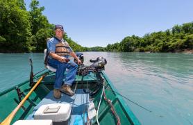
Richard Elder of California and Joe McKee of Marion have fished and boated on the river for decades. The ramp is far better than the old days when they had to slide boats over a levee.
“Our kids and grandkids grew up going out with us on the river,” Elder said, as they launched this summer to run trotlines.
Missouri’s Other River Border
Another major Midwestern waterway, the Des Moines River, nips Missouri from Iowa in the state’s northeast corner near St. Francisville. The Des Moines also flowed far from its banks during 1993. MDC purchased the 1,232-acre Frost Island Conservation Area with uplands, an oxbow lake, and seasonal wetlands as part of the state’s flood recovery effort. The area is upstream of the Des Moines River’s confluence with the Mississippi, east of Kahoka in Clark County.
“The special thing is it has a sand prairie, one of the few and the only one in north Missouri,” said Darlene Bryant, area manager. “Since it borders the Des Moines River, there are also fishing opportunities.”
St. Louis Connections
Both big cities and rural areas were deeply affected by floodwaters in ’93. After the flood, MDC purchased 42 sand covered acres from St. Louis County for the Pelican Island Access. Boaters can launch on the Missouri River north of Florissant and downstream from Pelican Island Natural Area. Anglers can fish from the river bank and in a slough.
In the flood’s wake, MDC added 1,000 acres bordering the river to the Weldon Spring Conservation Area in St. Charles County. Visitors to the area’s Darst Bottom Tract will find wetlands and restored native grasslands. Cottonwoods and willows dominate a developing bottomland forest. MDC offers special managed hunts for deer and turkey, said John Vogel, MDC regional wildlife supervisor.
“It’s a highly popular morel mushroom hunting place because it’s in the river bottom,” Vogel said.
Where the Great Rivers Meet
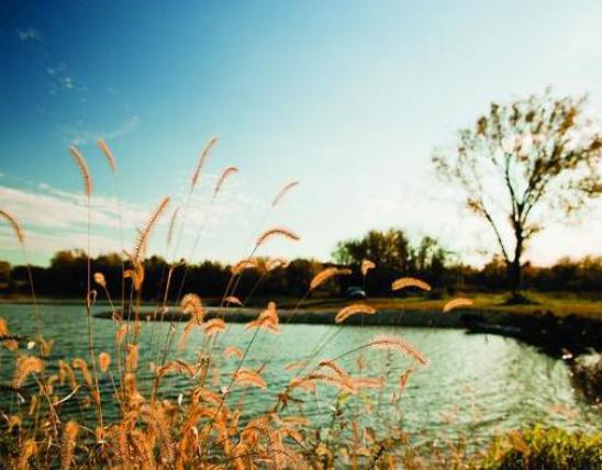
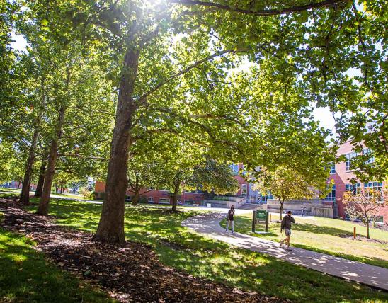
Mighty rivers meet at MDC’s Columbia Bottom Conservation Area in north St. Louis County. A scenic observation platform lets visitors watch the Missouri and Mississippi rivers mingle more peacefully than they did in ’93. Visitors can hike on trails meandering among a 4,318-acre mosaic of wetlands, bottomland timber, restored grasslands, and fields.
A visitor center and education stations along the main access road explain the area’s history and ecology, which still includes periodic flooding. Columbia Bottom borders the St. Louis metro’s northern neighborhoods and is only 25 miles from the city’s downtown.
“We tell visitors they need to go look at the confluence; it’s unique,” said Andy Tappmeyer, MDC wildlife management biologist. “Columbia Bottom provides a unique destination for a lot of folks.”
Canoeists and kayakers enjoy launching at a boat ramp on the Missouri River, floating through the confluence, and taking out on a sandbar on the Mississippi. Anglers also enjoy fishing on the sandbar. A parking lot and short trail provide access.
In autumn, duck hunters can draw for wade-and-shoot hunting opportunities in the wetland pools. Dove and squirrel hunting are popular. A managed youth turkey hunt is offered in the spring. Off the Mississippi shore is the 110-acre Duck Island, which has a bald eagle nest.
“We see eagles all winter long,” Tappmeyer said, “and sometimes all year, depending on where that pair is staying. A lot of folks just come out for a walk and the wildlife viewing.”


Also In This Issue

And More...
This Issue's Staff
Associate Editor - Bonnie Chasteen
Staff Writer - Larry Archer
Staff Writer - Heather Feeler
Staff Writer - Kristie Hilgedick
Staff Writer - Joe Jerek
Creative Director - Stephanie Thurber
Art Director - Cliff White
Designer - Les Fortenberry
Designer - Marci Porter
Photographer - Noppadol Paothong
Photographer - David Stonner
Circulation - Laura Scheuler