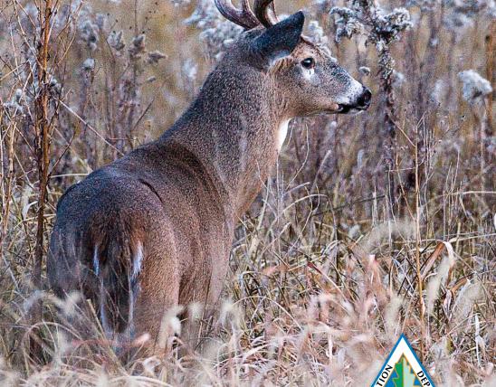
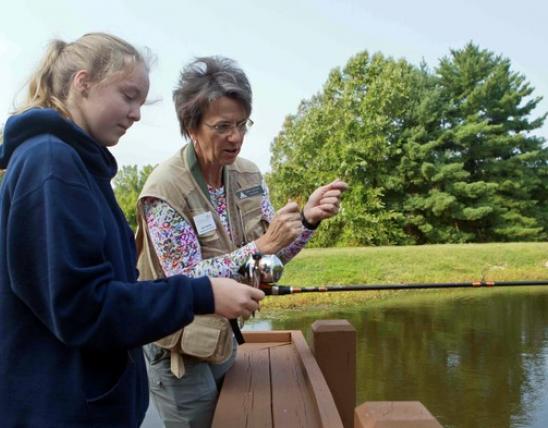

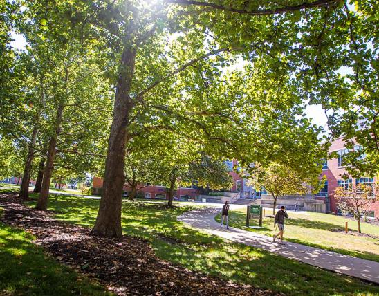

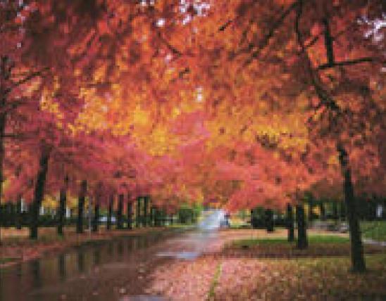


For those of us with an appreciation for conservation and the outdoors, it is unlikely that this appreciation rests on a single touchpoint but is more likely built upon a network of memories with family and friends, outdoor endeavors and activities, and quite possibly an appreciation for the sheer existence of the wide range of plants and animals that call Missouri home. Similarly, conserving wetlands along rivers and streams is also complex and requires us to consider multiple connections at the local scale, along with the cumulative effects that occur at the larger watersheds scale.
We haven’t always appreciated the complexity or the intricacy of how we influence our surroundings. We often have taken simplistic views of nature based on the belief we could manipulate and control nature to meet our purposes. Unfortunately, this strategy’s track record when applied to environmental issues isn’t good. By ignoring nature’s inherent complexity and multiple connections, we often create bigger problems and further complications. Wetlands are part of Missouri’s rivers and watersheds, and when we affect one site, it can have a ripple effect up or downstream.
Undervalued and Disregarded
Wetlands have a long history in the U.S. as being undervalued and disregarded. Swamps and marshes were often viewed as wastelands that needed to be “reclaimed.” Many of these “problem” areas were “solved” by ditching and draining, so the land could be developed and used for agriculture, transportation, or settlement. It wasn’t until after we lost most of our wetlands that we began to realize the complicated repercussions of our simple solutions. Although a straight stream may be efficient at moving water faster from one location, it breaks connections with meandering channels and wetlands in the floodplain that would store water and reduce the damaging velocities of floods.
As part of our growing appreciation for the value wetlands can play for our rivers, watersheds, and water supplies, MDC, along with a range of state and federal partners, recently analyzed the ecological functions wetlands provide through their connections to the broader landscape in a project assessing Missouri’s bottomlands. This analysis identified six different ecological functions that occur across Missouri’s 10 million acres of bottomlands: flood damage reduction, streamflow maintenance, carbon sequestration, denitrification, phosphorus retention, and streambank stabilization. The focus here is on the first two, but the others are described in the sidebar, Additional Wetland Functions.
This is the first of three articles highlighting a series of assessments, which are the first steps in implementing MDC’s Wetland Planning Initiative. The initiative is guided by a strategic guidance document, which articulates our philosophy on how we plan to approach wetland conservation in the next 25 years, and an implementation plan, which serves as an invitation to partners and stakeholders to engage with us in wetland conservation.
Before pursuing these goals, we must first understand what changes have occurred, our status, and future opportunities. We have conducted three assessments to provide this understanding: a bottomland functional assessment, a life history assessment of wetland-dependent animals, and a social assessment. This article highlights some of the important work encompassed in the bottomland functional assessment.
- Carbon Sequestration: This is the process of pulling carbon dioxide out of the air and locking it away within plants or soils for a very long time. Carbon can be stored within the biomass of trees for several hundred years. Within permanently saturated soils, carbon can be held at an order of magnitude greater for thousands of years.
- Denitrification: This is the process in which excess nitrogen found in the soil or water is converted by microbes into gas. Shallowly flooded plants with nutrient rich waters in the summer are great conditions for this to occur.
- Phosphorus Retention: This is the processes in which excess phosphorus is stored by plants or within the soil. This is more ephemeral and can change depending upon the time of year, soil characteristics, and degree of flooding.
- Streambank Stabilization: This is the physical process of keeping the streambank soils in place and reducing the impacts of erosion. Maintaining the existence of plant communities can reduce the erosive velocity of water with their stems and hold onto soil with their dense root systems. In settings with steep slopes or extreme water velocities, engineered rock is often used.
Show your appreciation for the vital role wetlands play through your time in these places and action in supporting conservation.
Flood Damage Reduction
We’ve approached flooding in a variety of ways. In some locations we have leaned heavily on engineered flood protection levees, whereas other locations have adopted a more hands-off approach that gives the river space. This second approach acknowledges the interaction and role wetlands play within river systems when it comes to naturally reducing flood damages.
One of the more common analogies used for wetlands is that they function as shock absorbers during floods. Historically, when rivers rose and flowed over their banks, the adjacent wetlands lying in the low depressions and swales would provide a place for this water to go. These soggy spaces would have spongy soils made up of organic matter that had the extra capacity to soak up water and slowly release it during drier spells. The dense growth of plant life, including trees, shrubs, and grasses, would slow floodwaters and serve as another means of protection from the powerful scouring and eroding of land from the floodwater currents.
The size and distribution of these shock absorbing wetlands in Missouri often existed in proportion to the amount needed to absorb the energy coming downstream, with larger wetlands occurring within the broader floodplains and adjacent to our big rivers, like the Mississippi and Missouri rivers, and smaller more dispersed wetlands existing on the floodplains of our smaller rivers and streams.
In many stretches of rivers, we’ve reduced the amount of space water can safely spread out, degraded the organic soil content, and reduced the plant cover. As a result, strong floodwater currents can be exceptionally devastating because we lack our natural shock absorbers to slow waters and provide temporary storage. The struggle to find flood solutions hasn’t been one dimensional. In recent years, agencies and communities have worked together to implement a much wider range of approaches used in the past that take advantage of the role wetlands can play in reducing flood damage. Setback levees and floodways are hybrid answers that acknowledge the need to protect certain lands, while also accepting the fact that water must go somewhere. By integrating spillways and space with strategic levees, low-velocity backwater is encouraged to slowly spread out in allocated areas, instead of unpredictable levee failures.
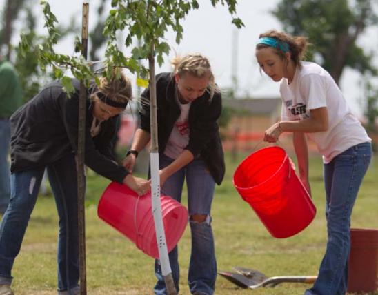
In the last 25 years, this strategy has been incrementally implemented as Missouri landowners have embraced the idea that flood-prone farmland is better suited for wetland conservation. The Wetland Reserve Easement (WRE) program has grown to encompass 160,000 acres across the state. Scattered in different parts of the state, complexes of public and private wetlands are once again providing the necessary shock absorbers to better handle the inevitable floods.
Streamflow Maintenance
Although size may have its advantages, like in flood damage reduction, sometimes the cumulative connections of a wide range of smaller sites can be equally as important. Streamflow across Missouri is largely maintained by the contributions of the small unassuming headwater stretches where streams begin their long journey to the Gulf of Mexico. These are the locations where run-off begins to collect and head downhill. In other headwater locations, the interaction of soils, geology, and groundwater manifest themselves as springs, with water bubbling forth from the ground to form a channel. Still elsewhere, the line between water and land is murkier, with seeps and fens being these ambiguous saturated spots where flow is minimal, but the grounds stay saturated a good part of the growing season.
Whether water is running off the adjacent hills or percolating through the sub-soil to form headwater streams, the speed at which water moves through these locations is important. When it comes to water’s connection to streams, slow and steady processes of infiltration win the race. When we remove grasses and trees that help the ground soak up water, runoff increases. The network of roads and ditches across the landscape add further complications by diverting surface runoff and altering groundwater movement. In many places, the combination of removing vegetation and altering surface and groundwater flows has short-circuited the slower water cycle that occurred historically. When large rains occur and are multiplied across these kinds of headwaters, the unintended consequences can be quite harmful. Instead of the life-sustaining trickle of your typical stream head, our altered watersheds generate large pulses of fast-moving, damaging water, carrying with them sediments, nutrients, and other pollutants.
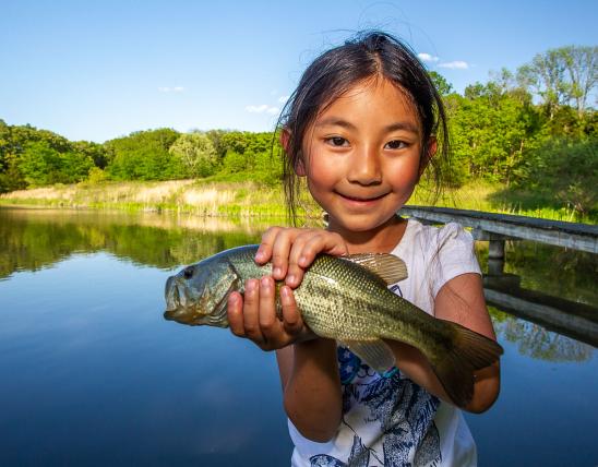
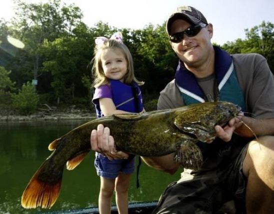
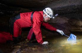
Luckily, through watershed planning and implementation of conservation measures, water quality and streamflow maintenance can be improved. In parts of the state where roads are less dense and natural cover is present along drainages, ecological services like streamflow maintenance are the are the highest functioning in the state. An ancillary benefit is recognized by the booming outdoor industry centered around fishing and water recreation on these clear, spring-fed streams found in the Ozark Highlands.
Wetland Appreciation
As our appreciation grows for how wetlands work, hopefully our perspectives shift from viewing wetlands with a singular negative lens to an appreciation for their multifaceted benefits and connections to the surrounding water and land. Depending upon where you live, there are a variety of ways to support these connections. MDC private land conservationists and community conservation planners can help identify what options may exist for you and your location. Within your community, it may involve incorporating native plants as a rain garden in your own backyard to help infiltrate runoff. Supporting municipal efforts to update the stormwater system is another way to improve water storage within your community. In rural settings, enrolling in conservation programs like WRE, establishing riparian corridors, and maintaining plants in woody draws are other options that allow streams and adjacent habitats the space they need to prevent flood damage.
Just like wetlands, which vary in size and function, our actions to support — and gain the benefits of — wetlands also vary in size and function, whether it’s yard-scale landscaping, community-level stormwater planning, or watershed-wide programs. In each case, we find ourselves in a position of working with, rather than against, nature.


Also In This Issue
One county’s fight over the fate of a rare fish

Maple sugaring sweetens outdoor activities for generations
And More...
This Issue's Staff
Editor - Angie Daly Morfeld
Associate Editor - Larry Archer
Photography Editor - Cliff White
Staff Writer - Kristie Hilgedick
Staff Writer - Joe Jerek
Staff Writer – Dianne Van Dien
Designer - Shawn Carey
Designer - Marci Porter
Photographer - Noppadol Paothong
Photographer - David Stonner
Circulation - Laura Scheuler