
Resource Science
Geographic Information Systems (GIS)
“We need to be able to translate statistical data into something people can visualize and understand,” says MDC GIS Specialist Dyan Pursell, “and how we do it is through maps.” A geographic information system (GIS) makes this possible by displaying data in maps so it can be viewed and analyzed in different ways.
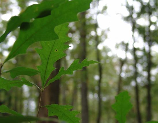
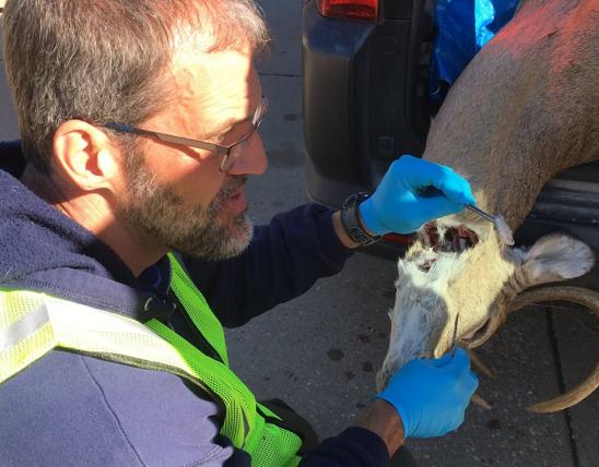
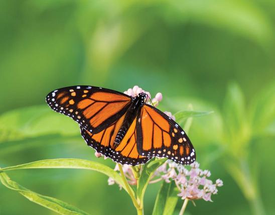
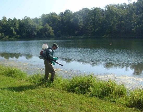
Invented in the early 1960s, GIS is now used across the globe in a variety of ways by a variety of industries. It is so useful for analyzing ecological data that every MDC science project includes a GIS technician on its team. Not every project ends up needing GIS, but many do. These projects range from the remote sensing of forest vegetation to understanding water flow in stream channels to recording mountain lion sightings to tracking highly pathogenic avian flu.
Although maps are a key component, GIS is much more than mapmaking. Pursell says, “GIS involves understanding geography, computer programming, statistical analysis, data and project management, and even a bit of psychology — you need to understand your audience to visualize the information you want to convey. Maps can often tell your story easier than words.”
In addition to building data collection applications for field staff, MDC’s GIS specialists also create custom toolkits. One example is the wetland decision management tool. It allows wetland managers to digitally watch water flow into wetland area pools so they can see how water will spread across the landscape at varying depths. This information, combined with estimates of available wetland food, provides insights for management decisions.
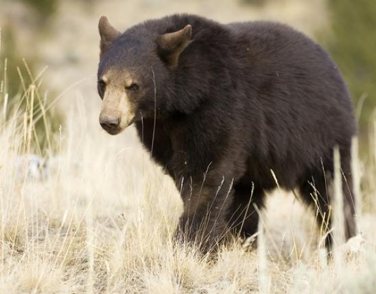
MDC also uses GIS for conveying information to the public, including black bear sightings and duck hunting zones. Find these and other MDC GIS projects at mdcgis.maps.arcgis.com.
GIS in Conservation at a Glance
GIS is computer software that displays data with maps so users can view, manage, and analyze the data in new and different ways. MDC scientists use GIS for a wide variety of conservation projects, from showing locations of wildlife sightings to mapping data retrieved through remote sensing methods.
GIS images used for the Grand River Grasslands Project
- Land Cover Classification: Shows cropland, grassland, shrubs, and trees
- High Quality Hillshade Map: Shows elevation within 3 inches of accuracy
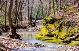
- Active Channel Water Imagery: Shows size of stream channels and can calculate the amount of shade on a stream


Also In This Issue
Serving Nature and You: Fiscal Year 2022
And More...
This Issue's Staff
Editor - Angie Daly Morfeld
Associate Editor - Larry Archer
Photography Editor - Cliff White
Staff Writer - Kristie Hilgedick
Staff Writer - Joe Jerek
Staff Writer – Dianne Van Dien
Designer - Shawn Carey
Designer - Marci Porter
Photographer - Noppadol Paothong
Photographer - David Stonner
Circulation - Laura Scheuler