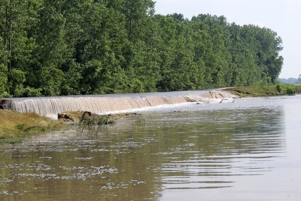
SPANISH LAKE, Mo.—The Missouri Department of Conservation’s (MDC) Columbia Bottom Conservation Area in Spanish Lake has closed because MDC officials anticipate the possibility of water overtopping the levees on the area. Columbia Bottom is located at the Confluence of the Missouri and Mississippi Rivers.
Even though the area is not currently flooded as of March 25, the potential remains for water to top the levee and flow onto the area at any time, possibly trapping motorists or pedestrians.
“We closed the area as a precaution, to be proactive,” said Columbia Bottom Area Manager Andy Tappmeyer. “It might be dry when someone first arrives, but as river levels rise, water can come over the levee and flow onto the area in as little as a half hour,” he said.
Tappmeyer added that even a seemingly small amount of water can be a threat to walkers or motorists. The National Weather Service (NWS) warns that drivers can lose control of their vehicles in as little as six inches of water, and the current in two feet of water is enough carry most vehicles away.
According to the March 25 NWS river gauge reading at St. Charles, the Missouri River was at 26.82 feet. It is expected to crest at 28.3 feet on Thursday, March 28. The Mississippi River gauge at St. Louis showed a level of 33.78 feet, with a forecasted crest on Thursday of 34.8 feet. NWS classifies these levels as minor flood stage.
Tappmeyer anticipates the area will remain closed for 10-days to two-weeks, depending on river levels or any possible flood damage. However, the visitor center building will remain open for normal operating hours during this time.
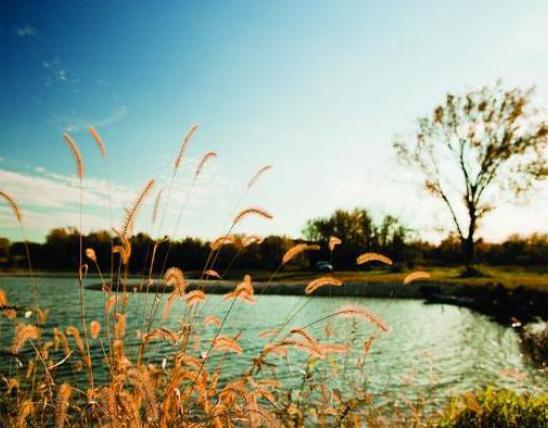
Flooding is a natural process and was historically common on the area because it lies in the floodplain of the Mississippi and Missouri Rivers. Columbia Bottom floods periodically during times of high river levels.
MDC also urges caution near any rivers, river access, and large creeks during flood conditions. Anglers, boaters and floaters should re-evaluate any plans they may have for activities on the water in the near future. High water levels, swift currents and floating debris can be especially hazardous. Hikers and campers should be aware that sudden rises in creeks and streams could leave them stranded with no way to cross, or flash-flood low-lying campsites. Low water stream crossings in rural areas and on conservation areas can also be particularly dangerous for motorists.
For current information regarding closures on MDC areas, consult MDC.mo.gov.