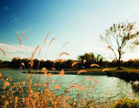
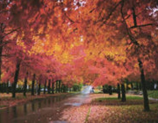
CAPE GIRARDEAU, Mo. – Floating Missouri's streams is a great way to enjoy our state’s great outdoors during the fall. Keeping an eye out for wildlife or drifting downstream with the current will lift your spirit. Missouri Department of Conservation (MDC) has you covered with a select list of great spots to discover nature as Mother Nature cools things down and reveals her beautiful fall colors.
“There’s nothing quite like kayaking or canoeing in the fall. The areas aren’t usually as busy, so it can be even more relaxing than in the summer,” said Bridget Jackson, MDC Regional Recreational Use Specialist. “The popping fall colors make for some spectacular views. Birdwatching from a kayak or canoe gives you an opportunity to see waterfowl and wading birds on their level. It’s pretty neat to see a great blue heron watch you float by from about 20 feet away.”
Paddle Sport Locations:
This lake features two disabled-accessible fishing piers and a concrete boat ramp and offers good fishing for bass, bluegill, catfish and crappie.
Where: Located near Crump in Cape Girardeau County, 14 miles southwest of Jackson on Route U and Route RA.
Keep an eye out for: largemouth bass, black crappie, channel catfish.
This area includes two access roads, four parking lots, two boat launching ramps, a fishing access trail for bank anglers, and two small picnic areas. It also features a disabled-accessible fishing pier, where fish cover structures have been placed to improve fish habitat. Disabled-accessible restrooms are located near the fishing pier.
Where: Two miles west of Perryville. Can be accessed from Route T and from the Interstate 55 west outer road.
Keep an eye out for: largemouth bass, red-ear sunfish, post oak.
This area consists of 147 acres of woodland and 37 acres of surface water. Memphis silt loam soils dominate here and support a wide variety of tree, shrub and plant life, which in turn, helps support a diversity of wildlife. A large grassy area near the lake has a pavilion, grills, and picnic tables. You’ll also find a boat ramp and privies.
Where: Scott County, near the towns of Cape Girardeau, Chaffee, Scott City, Benton, and Oran.
Keep an eye out for: great blue heron, red-eared slider, black walnut, cottonwood, tulip tree.
The almost 10,000 acres contains nearly all forest with several small springs, including Blue Pond Natural Area. Blue Pond is the deepest natural pond in Missouri at more than 65 feet deep. Facilities/features at Castor River CA include primitive camping, multi-use trails for hiking, biking and horse riding, numerous intermittent streams and one permanent stream.
Where: From Marble Hill, take Highway 34 west 12 miles. Continue west to access campgrounds, trails and range, take Route Y south from Highway 34.
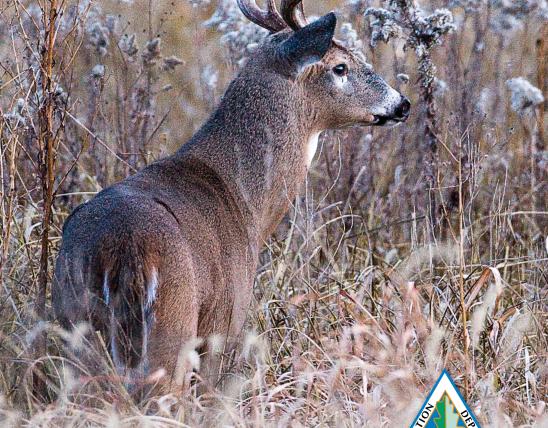
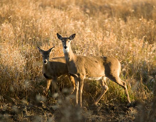
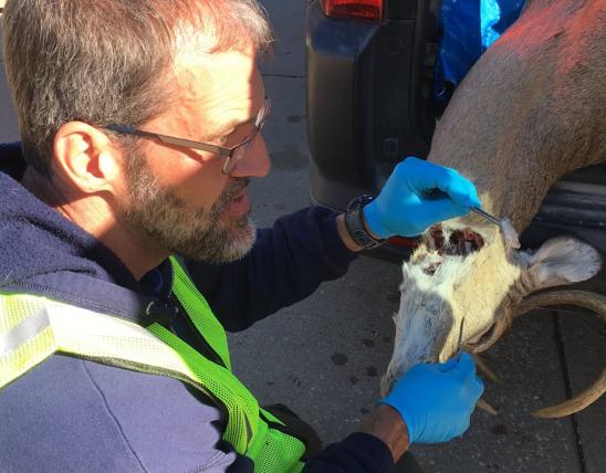
Keep an eye out for: white-tailed deer, wild turkey, white oak, eastern gray squirrel, and eastern fox squirrel.
This area is home to a mix of upland oak-hickory forests and a few bottomland forests. You may notice various forest improvement practices designed to improve wildlife habitat and maintain watershed quality. MDC has created watering ponds and planted food plots and agricultural crops within the forest to provide additional food sources for wildlife.
Where: North of Cape Girardeau, take the Fruitland exit off I-55, then Highway 61 north 7 miles, then Route CC east 6 miles to the area.
Keep an eye out for: tulip tree, wild turkey, wood duck, white-tailed deer, and eastern cottontail (cottontail rabbit).
This river originates in Iron County in Southeast Missouri and flows to the Missouri/Arkansas border. Wappapello Dam and Lake are located on the divide. Anglers can expect quality fishing for all three species of black bass. Spotted and largemouth bass are more common in the pool habitats throughout the river. Black bass are common and shadow bass (goggle-eye) angling will be fair. Channel catfish are plentiful from Coldwater Access down to Wappapello Lake.
Where: Originates in Iron County in southeast Missouri and flows to the Missouri/Arkansas border.
Keep an eye out for: Hubbs’ (golden and spot handed) rare St. Francis River crayfish, red-shouldered hawks, and belted kingfishers over the water.
This river is separated into two sub basins: the upper sub basin upstream of Clearwater Dam and the lower sub basin downstream of Clearwater Dam to the Arkansas state line.
Where: Originates in Reynolds and Iron Counties and flows south through Wayne and Butler Counties and into Arkansas.
Keep an eye out for: Taum Sauk Mountain (highest point in the state), multiple feeder springs to produce some good smallmouth bass fishing.
Streams include Middle Fork, Spring Creek, Hurricane Creek, and Fredrick Creek. Greer Spring also contributes significantly to the flow of the Eleven Point River, turning the river into a cold-water stream.
Where: Originates near the town of Willow Springs, located in northeastern Howell County. The river flows southeasterly across northern Howell and Oregon Counties and then south, crossing the Arkansas state line about 2.5 miles west of the southeast corner of Oregon County.
Keep an eye out for: several nice waterfalls, more than 30 natural springs, and fishing for small mouth bass and trout.
This spring is large, beautiful and undisturbed. You’ll find aquatic plants and animals surrounded by forest in the Current River Hills region of the Ozarks. The Osage Indians reportedly called this spring “Spring of the Summer Sky.”
Where: From Eminence head east on Highway 106 and travel 14 miles. Turn right (south) into the Powder Mill campground and parking area owned and operated by the National Park Service. At the boat launch on the Current River look for a trailhead sign for the Powder Mill/Blue Spring Trail. Follow the trail south along the Current River for 1.5 miles to the Blue Spring parking area.
Keep an eye out for: scenic bluffs along the spring and spring run that support good spring wildflower displays, Gaze into the azure depths of Missouri’s deepest known spring (300 feet), Look for colorful warblers and kingfishers along the spring run and the Current River.
This river combines two streams: the North Prong and South Prong of the Jacks Fork. The North Prong begins nearly nine miles south of Raymondville, while the headwaters of the South Prong are located about five miles east of Cabool.
Where: The area is best reached by canoe. Bring a map and compass for exploration. Check with the National Park Service about river stages and river closures due to high water. You can put in either at the Buck Hollow River Access, the Bluff View River Access or the Blue Spring River Access.
Keep an eye out for: an array of warblers and other species and Jam Up Cave.
Conservation areas are closed from 10 p.m. – 4 a.m. except for authorized camping, fishing and hunting activities.
The larger streams are more reliably floatable, while the smaller ones are best in winter, spring and fall (or a few days after rainfall, but not immediately after for safety reasons). Smaller streams will always require some amount of walking.
Have fun exploring, but always paddle within your limits and know that rivers are constantly changing. Be aware of downed trees and other hazards. Use caution on unfamiliar waters and be aware of private property.
Find more information about canoeing and floating opportunities online at https://nature.mdc.mo.gov/discover-nature/activities/canoeingfloating.