Body
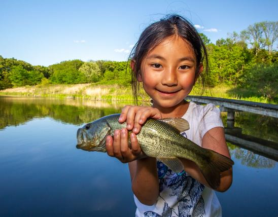
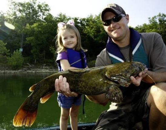
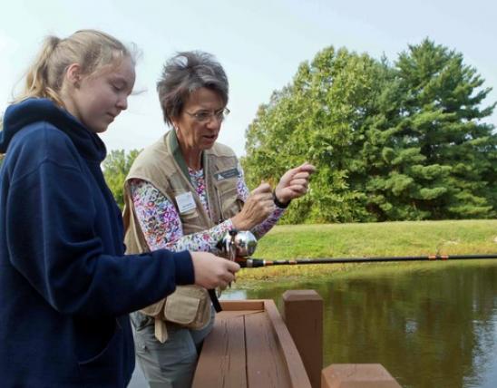
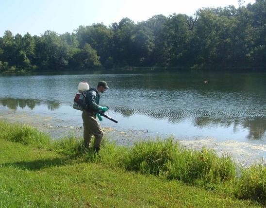
WEST PLAINS, Mo. – Good fishing begins with good habitat. Increasing angling enjoyment is the primary objective of a habitat improvement project currently underway on the Missouri portions of Bull Shoals and Norfork lakes. This project – which is a cooperative effort of the Missouri Department of Conservation (MDC), Bass Pro Shops, and the National Fish and Wildlife Foundation – is designed to increase the number of fish habitat structures in the Missouri portions of these popular fishing destinations in the south-central part of the state.
MDC manages the fisheries of both of these U.S. Army Corps of Engineers reservoirs. The periodic fluctuation of lake levels, which are part of power generation and flood control operational procedures at these reservoirs, hinder aquatic vegetation from becoming established. Also, existing fish habitat at Bull Shoals and Norfork is deteriorating. Thus, there’s a need for new habitat structures that will attract various species of sportfish for anglers.
The project’s goal is to install at least 115 structures for both lakes combined. Each structure consists of four to eight eastern red cedar trees grouped together. Structures extend perpendicular to the shoreline at water depths of 10-30 feet in coves and 20-40 feet in the main lake areas. Elongated structures are used because these shapes blend angler accessibility and sportfish use with the constraints of a fluctuating water level throughout the year.
To date, 21 structures have been placed in Norfork Lake and 49 structures have been put in the Theodosia Arm of Bull Shoals Lake. MDC Fisheries staff is currently working in the Big Creek Arm of Bull Shoals Lake and also plans work in the following areas of Bull Shoals Lake: Shoal Creek Arm, Elbow Creek Arm, Horseshoe Bend, Mincy, and Highway K. Regular updates will be made to online maps after each area has been completed. Any placement of fish habitat structures by the public is prohibited without written authorization from the Corps of Engineers.
Anglers will be able to find the GPS coordinates of structure locations through MDC’s MO Fishing App, the MO Fishing Interactive Map, or by contacting MDC’s Ozark Regional Office in West Plains at 417-256-7161. Once the structures are in place, shore-line signage describing the project will also be at some of the structure locations.