

ACKNOWLEDGEMENTS
Seventeen Department of Conservation staff worked varying lengths of time on the West Osage River Basin inventory and management plan during the last 6 years. Special thanks to Harold Kerns, Larry Robinett, Rex Martensen, Brian Miller, Kara Hash, and Dwight Warnke for data collection, summarization, map measurement, and assimilation of background information. In addition, we would like to acknowledge the dedicated effort our secretaries, Hope Lukenbill and Kathie Kinkead-Flores, who typed, edited, and proofread the document. Without the continued support and effort expended by all Fisheries Management District 6 staff and information provided by other agencies, this plan would not have been possible.
EXECUTIVE SUMMARY
The West Osage Basin encompasses 6,841 mi2 in Kansas and Missouri (41% lies in Missouri). Sixty-five percent of the watershed lies in the Osage Plains and 35% lies in the Springfield and Salem plateaus. The basin is divided into six subbasins: Weaubleau, Hogles and Bear creeks, hereinafter referred to as the Weaubleau subbasin (306 mi2, 100% in Missouri); Monegaw and Gallinipper creeks referred to as the Monegaw subbasin (209 mi2, 100% in Missouri); Clear Creek (458 mi2, 100% in Missouri); Marais des Cygnes River (3,704 mi2, 13% in Missouri); Marmaton and Little Osage rivers referred to as Marmaton subbasin (1,021 mi2, 33% in Missouri); and Drywood and Little Drywood creeks referred to as the Drywood subbasin (346 mi2, 63% in Missouri).
In the Missouri portion of the West Osage Basin there are 2,364 streams with a combined length of approximately 3,586 mi, of which 276 are third order or larger (1,168 miles). Gradients vary considerably from 0.8 to 25.3 ft/mi depending upon the physiographic region and location within the watershed. Since the construction of Truman Dam, flooding has increased in the lower portions of streams within the flood pool of Truman Lake.
Land Use
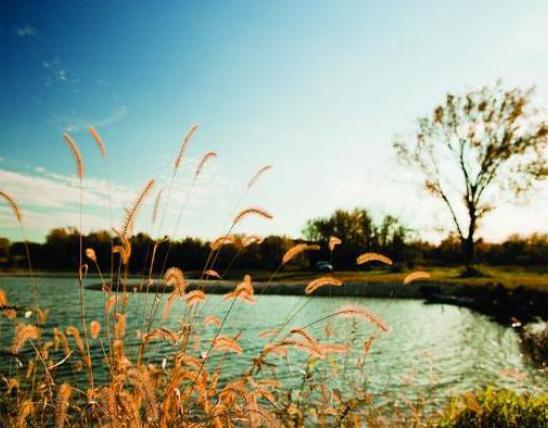
Historically, the basin was dominated by tall grass prairies and oak and hickory forests in uplands and along stream corridors. The basin in Missouri is rural, averaging only 21 inhabitants/mi2, compared to the statewide average of 65 inhabitants/mi2. Land use in Missouri is primarily agriculture (78%), forest (20%) and mine areas (0.7%). Row crops, pasture and hay production and beef, swine and dairy cattle dominate the agricultural activities. The basin is 98% privately owned. Forest acreage in the basin increased 71% between 1959 and 1989. There are 45 public use areas totaling almost 37,000 acres and 40 miles of stream frontage in public ownership.
Hydrology
Annual rainfall within the basin averages 38.5 inches and snowfall averages 14 - 16 inches annually. In the Missouri portion of the basin there are 276 third order and larger streams totaling 1,169 miles. There are four gauging stations with significant periods of record with stream mean daily discharges ranging from 222 to 2,158 cfs. Streams exhibit low base flows and large year to year variations in low flows. On the average, the Little Osage River exceeds bank full discharge 2 times per year, the Marmaton River 0.6 times per year and the Marais des Cygnes 8 times per year. In Kansas, three major COE dams presently impound 15,375 acres and control 23% of the basin’s watersheds in Kansas. Additional impoundments planned will increase Kansas control to 36% of the basin’s watershed.
Water Quality
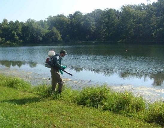
Water quality problems are common throughout the basin with point source problems associated with municipal sewage treatment effluents and non-point source problems associated with agricultural and mining activities. The Weaubleau subbasin water quality is impacted less than other subbasins. The Monegew subbasin water quality is degraded by nutrification by five municipal sewage treatment facilities and livestock wastes; coal strip mining activities throughout the basin are common, and acidity and mineralization causes high conductivities and fish kills. Clearfork subbasin is impacted by two municipal sewage treatment facilities and may be further degraded by potential runoff from large hog confinement operations. The Marais des Cygnes subbasin is impacted by four municipal sewage treatment facilities and severely degraded by acid mine drainage, erosion, sedimentation and agricultural runoff. The Marmaton subbasin is impacted by two municipal sewage treatment facilities and isolated acid mine drainage. The Drywood subbasin is impacted by three municipal sewage treatment faciltiies, the expansion of large corporate hog operations and acid mine drainage. Sixteen documented fish kills resulted in a loss of 37,000 fish to basin streams. No health advisory warnings are in effect at the present time.
Habitat Conditions
Channelization is extensive in the Marais des Cygnes subbasin; over 35% of the mainstem Marais des Cygnes River is channelized. Truman Dam on the Osage River near Warsaw was completed in 1977, and it impounded 90% of the remaining Osage River above Lake of the Ozarks.
Instream habitat is generally good throughout the basin in Missouri with documented spawning areas for walleye and white bass. Potential, but undocumented spawning areas for paddlefish are believed to occur in the upper portion of the Marais des Cygnes River in Missouri and Kansas. The Marmaton subbasin is unique with the number of wetlands and bottomland hardwoods found. As part of the Missouri Department of Conservation's Streams for the Future program, the Stream Stewardship Agreement program was implemented on the Marmaton River. This program was designed to reward good land stewards and preserve wetlands and the extensive wooded corridor prevalent along this high quality prairie river.
Biotic Community
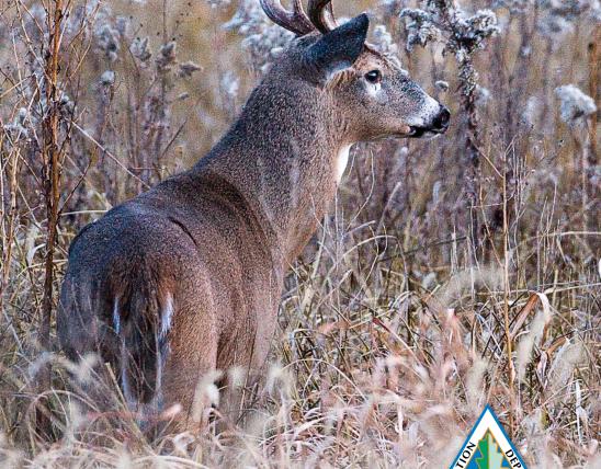
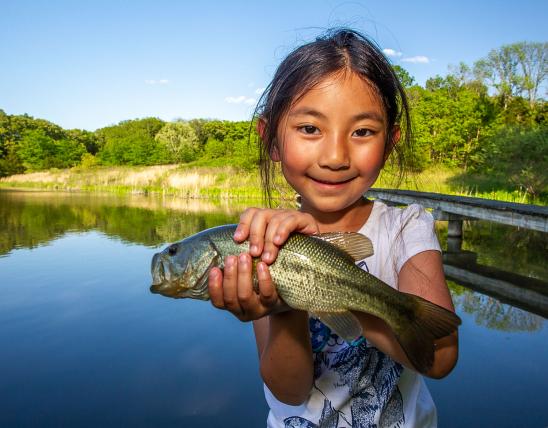
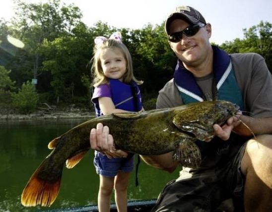
A total of 97 fish species representing 16 families have been collected in the basin since 1940. In the Kansas portion of the basin, 78 fish species representing 17 families have been recorded. No detailed studies of invertebrates have been conducted. In Missouri, three fish species are classified by the state as rare and two are on the state watch list; one mussel species is state listed as threatened and two are on the watch list. The area supports a diverse fishery that includes walleye, white bass, paddlefish, catfishes (flathead, channel and blue), white crappie and largemouth and spotted bass.
Threats
Stream problems in the basin include: water quality degradation due to cattle in virtually all basins; acid runoff from unreclaimed strip mines in the Clear Creek, Monegaw, Marais des Cygnes, and Drywood subbasins; inadequate riparian corridors, erosion and sedimentation caused by channelization and agricultural runoff; maintenance of already low base flows; threats to base flows by future watershed developments (especially in Kansas which has plans for developing over 60% of the Marmaton River watershed); extensive impoundments and channelization in some subbasins; introduction of nonnative species, especially in Kansas with the stocking of sportfish into state lakes and Corps of Engineers impoundments; limited access on selected streams; and a general lack of public knowledge of problems in the basin. Many of these problems are complicated by the high proportion (60%) of the basin that occurs in Kansas. Interagency cooperation between Missouri and Kansas will be a key to the successful implementation of this management plan.
Opportunities
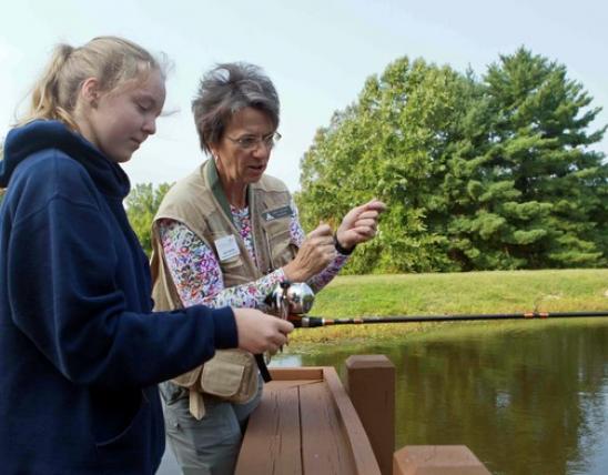
Opportunities to correct these problems include objectives to: improve water quality by cooperating with other agencies to inform them of non-point pollution and solutions to correct them; investigate fish kills and development projects which could impact water quality; educate and inform the general public, landowners, agricultural government and agency personnel through news media and workshops; cooperate with Kansas agencies to preserve the natural hydrograph, especially base flows of the Marmaton, Little Osage and Marais des Cygnes rivers; protect wetlands and riparian corridors by purchasing or acquiring easements; enhance stream habitat for paddlefish and other sportfish, especially in the proposed USFWS refuge on the Marais des Cygnes River in Kansas; form STREAM TEAMs to promote stream advocacy; and develop good working relationships with agricultural agencies, landowners, developers, and educators and guide them in promoting good stream stewardship practices in Missouri and Kansas.
This information is based on:
The West Osage River Watershed Inventory and Assessment written by Debra K. Fantz, William G. Heatherly, Patricia A. Yasger and Ronald J. Dent, West Central Fisheries Regional Supervisor
For Additional Information Contact:
Kansas City Regional Fisheries Biologists
3424 NW Duncan Road
Blue Springs, MO 64015